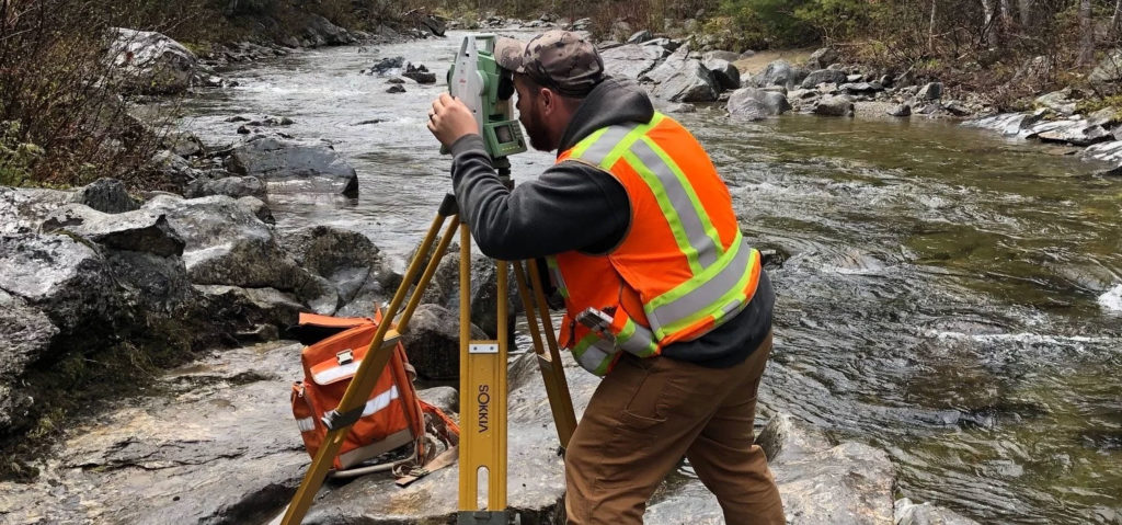
Surveying
NCS is recognized as one of the leading surveying firms in the southern Maine region. Our team of surveyors and technicians have extensive experience in conducting comprehensive boundary and topographic surveys, and our commitment accuracy and precision is unmatched. With multiple survey crews available, we are able to execute field surveys in a timely and cost-effective manner. In the office, our team delivers professional plans and documents which consistently exceed industry standards and client expectations. NCS offers the following Land Surveying services:
- Boundary Surveys
- ALTA/NSPS Land Title Surveys
- Topographic Surveys
- Existing Conditions Surveys
- GPS Location Surveys
- Inventory/Data Collection Surveys
- FEMA Elevation Certificates
- Right-of-Way Permitting
- Utility Easement Surveys
- Municipal Easement Surveys
- Hydrographic Surveys
- Subsurface Utility Surveys

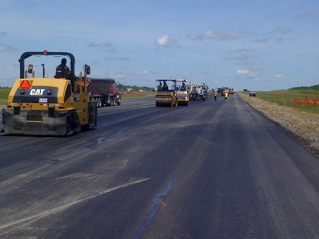
Civil Engineering
With over 32 years of success providing Civil Engineering expertise for residential, commercial, municipal, institutional and industrial projects throughout the region, NCS offer a full range of planning, design, permitting, and construction administration services. Our Civil Engineering projects range from small residential improvements to large subdivisions and housing developments, commercial and retail facilities, and transportation infrastructure. From the creation of design alternatives and proposals, site permitting, and construction document preparation to client, agency, and stakeholder interaction, our commitment to integrity and effective, efficient professional services insures a satisfactory experience. NCS offers the following Civil Engineering services:
- Civil & Environmental Engineering
- Stormwater Management Design
- Wetland Delineation & Mitigation
- Land Planning
- Local, State and Federal Permitting
- Construction Administration Services
- Erosion & Sedimentation Control Plans
- Hydrological & Hydraulic Modeling
- Utility Engineering
- Highway Engineering
- Shoreline Stabilization Plans
- Sewer System Design
Airport Consulting
Since 1992 NCS has been providing various land surveying and engineering consulting services for several airports in New England. With the addition of Bill Gerrish to the NCS team in 2021, NCS has evolved into a multi-discipline airport consulting firm. NCS provides the expertise of a larger firm with quality personalized service and the cost effectiveness of a small Maine business. Maine’s airports must find affordable and common-sense solutions to maintain safe and efficient airport facilities while meeting their budgetary constraints. Being a smaller firm with lower overhead costs and highly qualified personnel, NCS is well suited to meet the consulting needs of most airports in Maine. NCS offers the following Airport Consulting services:
- Airport Boundary and Topographic Surveys
- Obstruction Surveys and Analysis
- Airfield Infrastructure Design
- Pavement Maintenance Design
- Security and Wildlife Mitigation Design
- Grant Administration
- Airport Planning
- Land/Easement Acquisition
- Local, State, and Federal Permitting
- Construction Administration