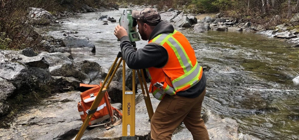
Surveying
NCS is recognized as one of the leading surveying firms in the southern Maine region. Our team of surveyors and technicians have extensive experience in conducting comprehensive boundary and topographic surveys, and our commitment accuracy and precision is unmatched. With multiple survey crews available, we are able to execute field surveys in a timely and cost-effective manner. In the office, our team delivers professional plans and documents which consistently exceed industry standards and client expectations. NCS offers the following Land Surveying services:
- Boundary Surveys
- ALTA/NSPS Land Title Surveys
- Topographic Surveys
- Existing Conditions Surveys
- GPS Location Surveys
- Inventory/Data Collection Surveys
- FEMA Elevation Certificates
- Right-of-Way Permitting
- Utility Easement Surveys
- Municipal Easement Surveys
- Hydrographic Surveys
- Subsurface Utility Surveys

Civil Engineering
- Civil & Environmental Engineering
- Stormwater Management Design
- Wetland Delineation & Mitigation
- Land Planning
- Local, State and Federal Permitting
- Construction Administration Services
- Erosion & Sedimentation Control Plans
- Hydrological & Hydraulic Modeling
- Utility Engineering
- Highway Engineering
- Shoreline Stabilization Plans
- Sewer System Design